Our Work
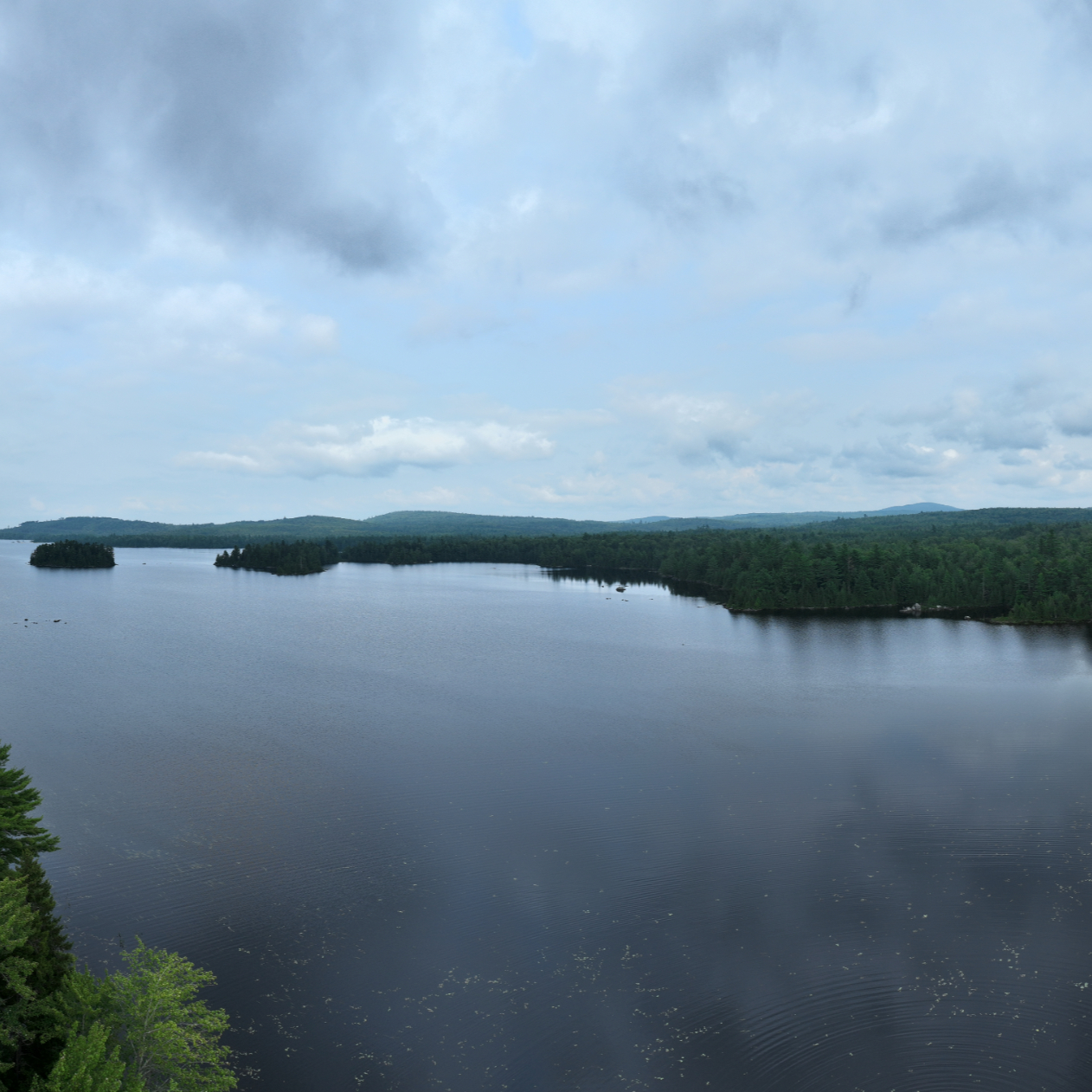
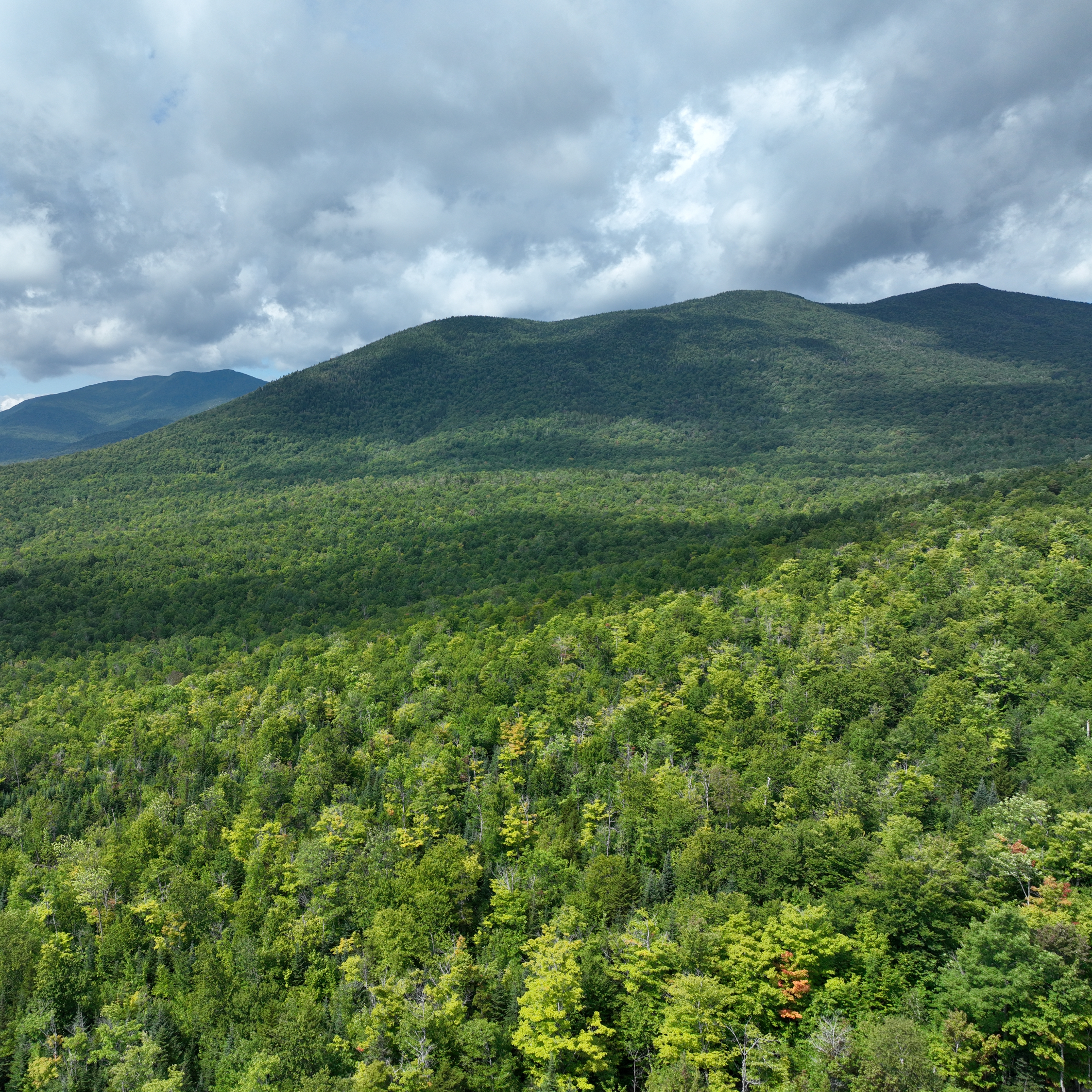
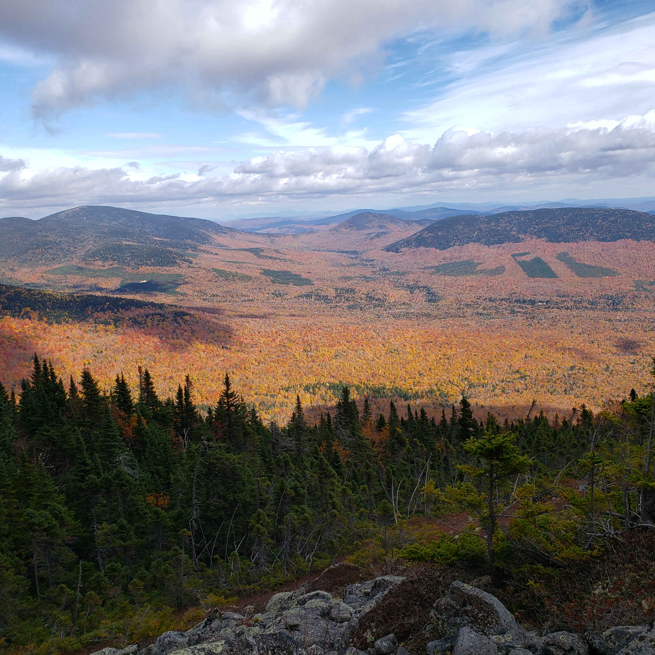
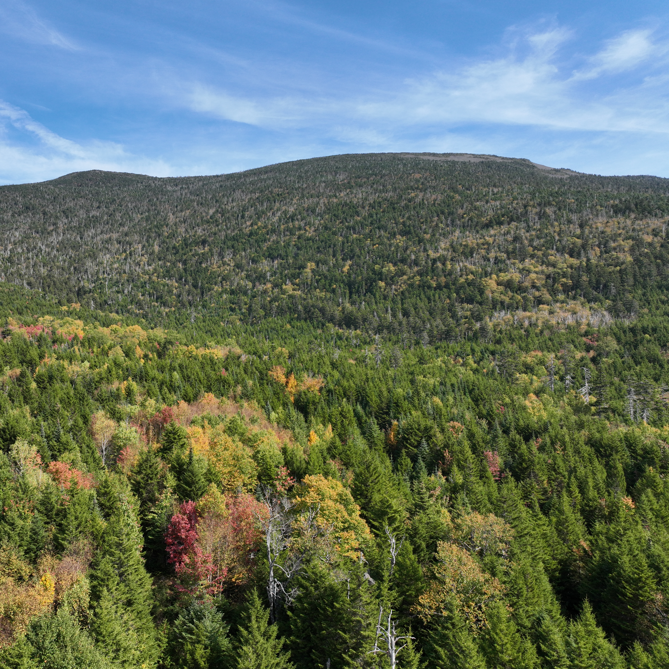
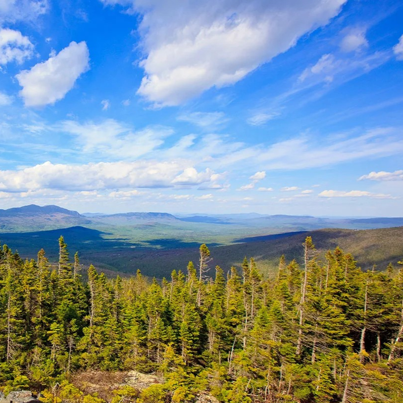
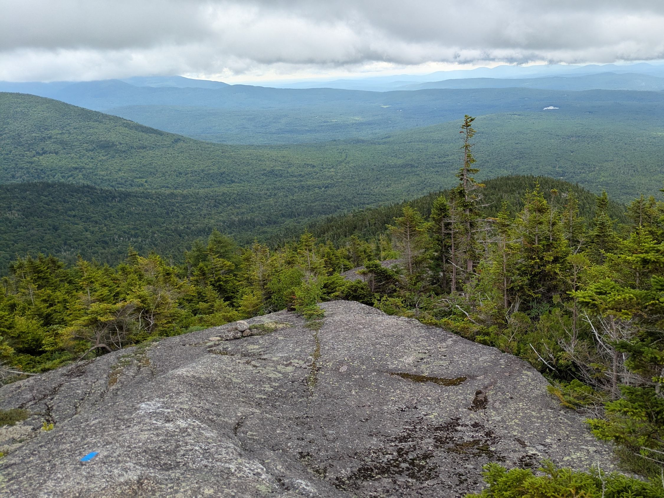
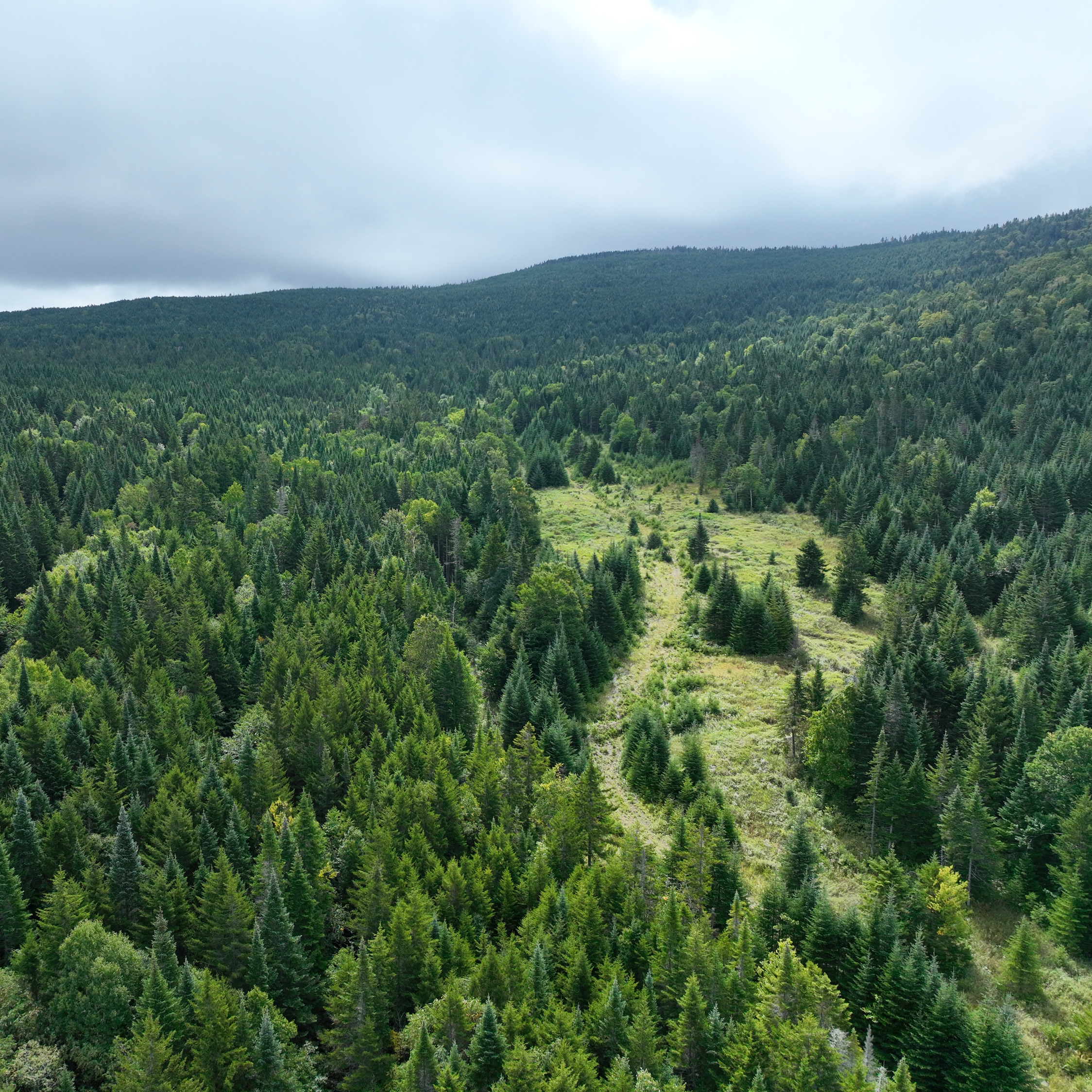
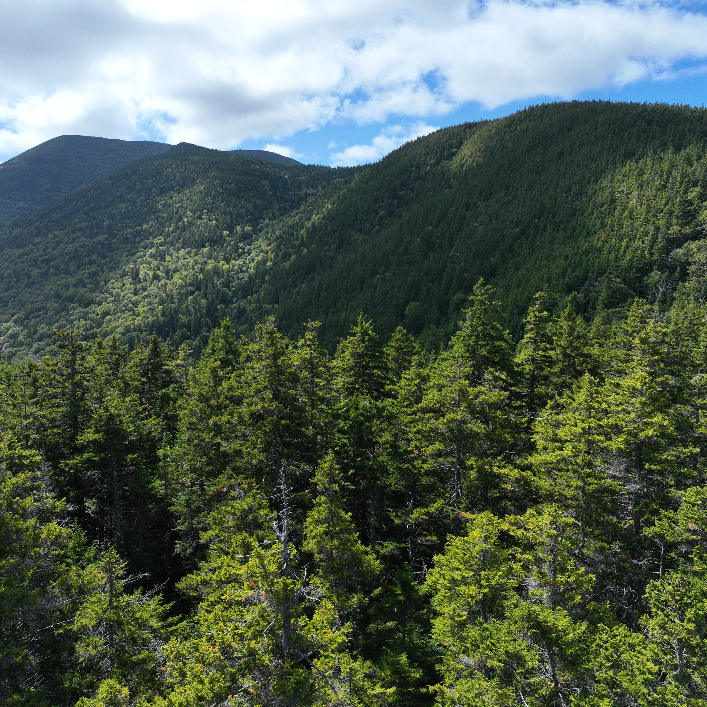
MATLT has worked with partners to conserve over 76,000 acres of unique ecological lands that are open to the public for outdoor recreation.
The Appalachian Trail in Maine and the lands we work in are located on lands in the traditional territory of Wabanaki Confederacy, including the Penobscot (Eastern Abnaki, Penawahpskewi, Penobscot). All of Maine is the traditional homeland of the Wabanaki people. To learn about the history of these lands, recenter Wabanaki voices, and return land, money, and decision-making authority to Wabanaki communities, start here.
Highlight Projects


Programs & Partnerships
We conserve land so present and future generations can feel a meaningful connection to the wild and remote landscapes of Maine.
Maine’s High Peaks® Initiative

Maine’s High Peaks® Initiative is a collaborative of local, regional, and national organizations working in Maine’s High Peaks® region. The mission is to protect important natural resources, secure public access, and support healthy human and natural communities in Maine’s High Peaks®.
#WeOutside

This initiative works to connect asylum-seeking youth and families to Maine’s outdoor spaces and foster a sense of belonging in conserved lands. With activities like birding, hiking, canoeing, mountain biking, skiing, and ice fishing, #WeOutside offers enriching outdoor experiences that support mental health, strengthen communities, and bridge cultural divides.
MATGIC

Maine Appalachian Trail Geospatial Information for Conservation (MATGIC) was created in partnership with the National Park Service and Appalachian Trail Conservancy out of the need to have comprehensive mapping and data specifically for conserving the greater Appalachian Trail region. It combines the latest scientific data on climate resilience and ecological factors with human-based data like hiking trails, motorized trails, and even historic sites.